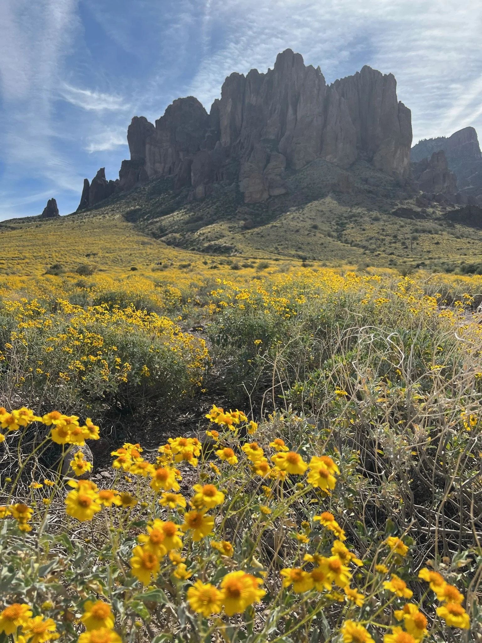
Flatiron
Flatiron in the Superstition Mountains of Arizona (full trail name is Flatiron via Siphon Draw) is an iconic Arizona hike and a rite of passsage for any serious Arizona hiker. It is often both loved and hated. The entire trail is only around 5.5 miles (8.85 km) and involves roughly 2,628 ft (or 798 meters) of elevation gain. What the trail lacks in distance, it makes up for in scrambling, sometimes confusion and often pain. We love this hike.
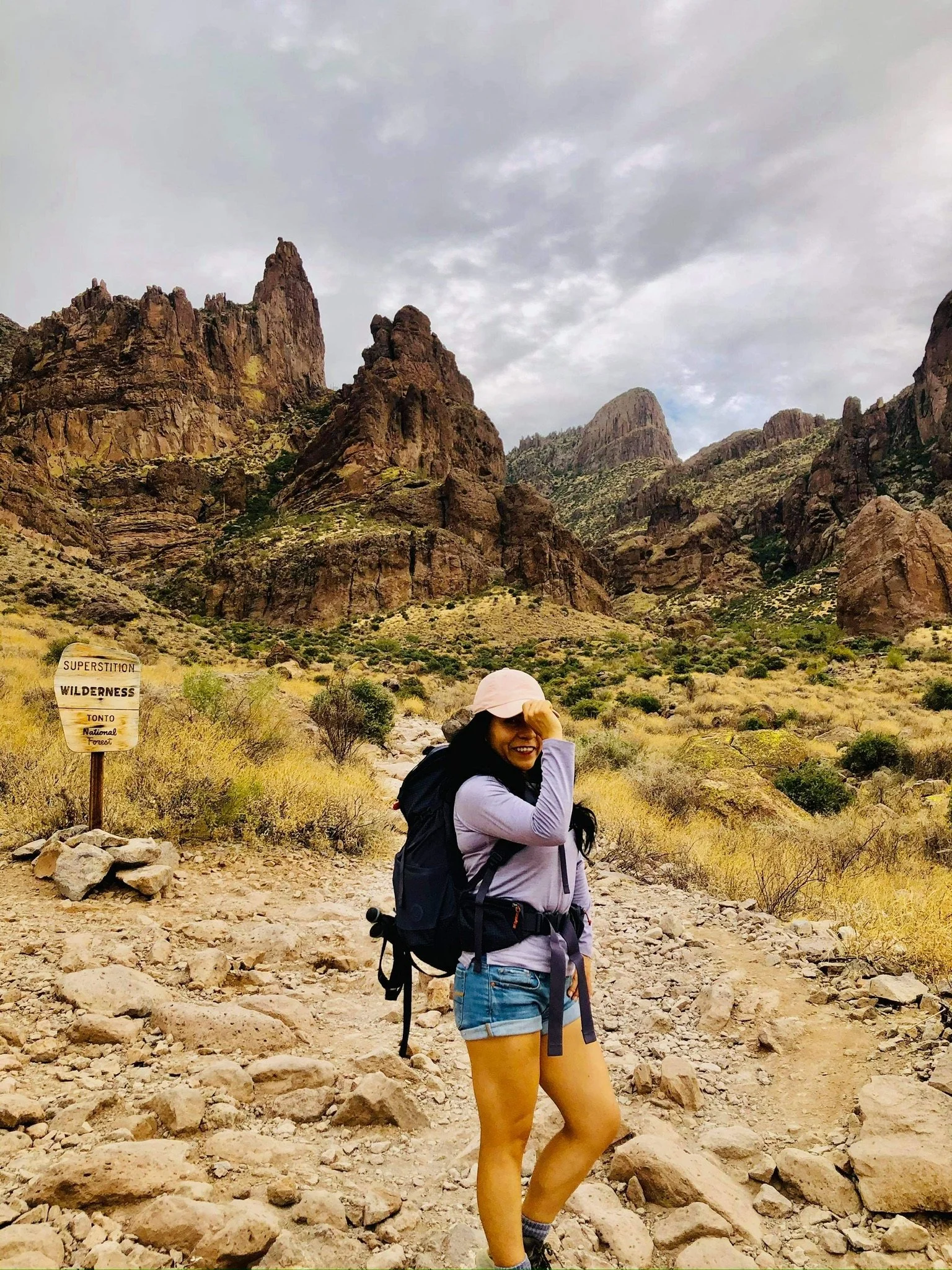
The trail begins innocently enough at the parking lot of the Lost Dutchman State Park. (Note: A fee is required to enter.) From the trailhead you will make your way along the Siphon Draw trail. You will soon encounter the Jacob Crosscut Trail junction, then make your way up to Slick Rock, and eventually Siphon Falls.
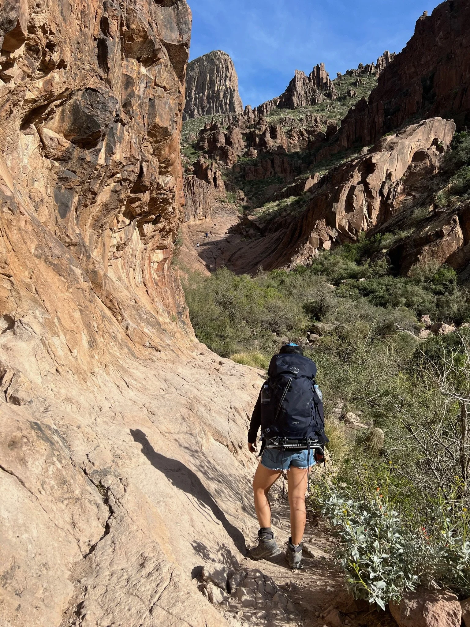
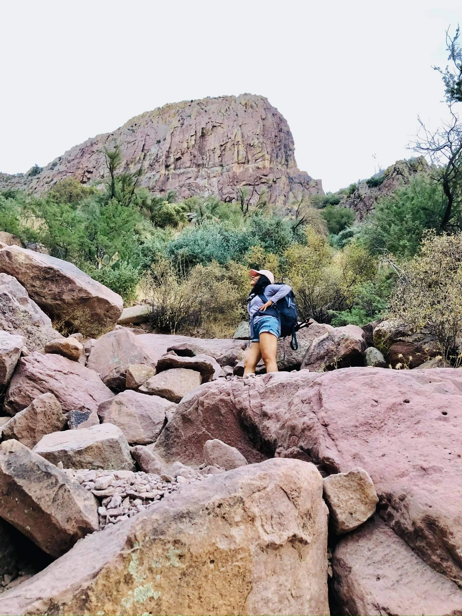
The first mile and a half is a fairly easy and gentle incline, but soon after Slick Rock, the real hike begins. Once you begin to climb, the trail is often hard to follow and is not well-marked, Take the time to take in your surroundings and take note of where others have gone. It is easy to find yourself in a dead-end or a more difficult position than you have to be.
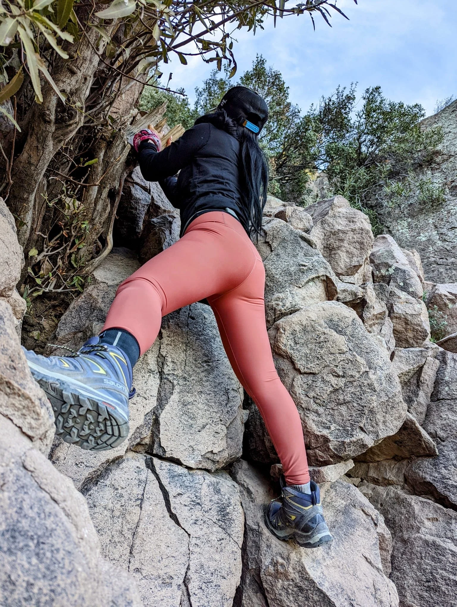
Once you enter the chute, the best advice from here to the top is to try to stay to the left, although sometimes the trail veers to the center or slightly right. Try to avoid the gully to the far right.
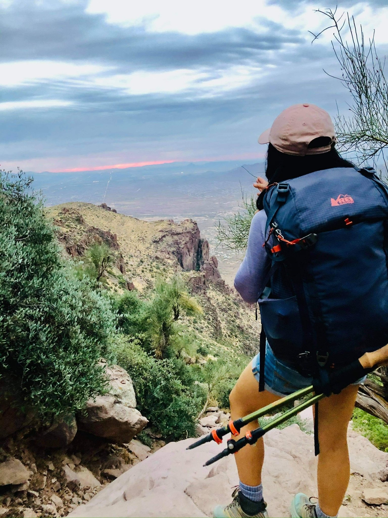
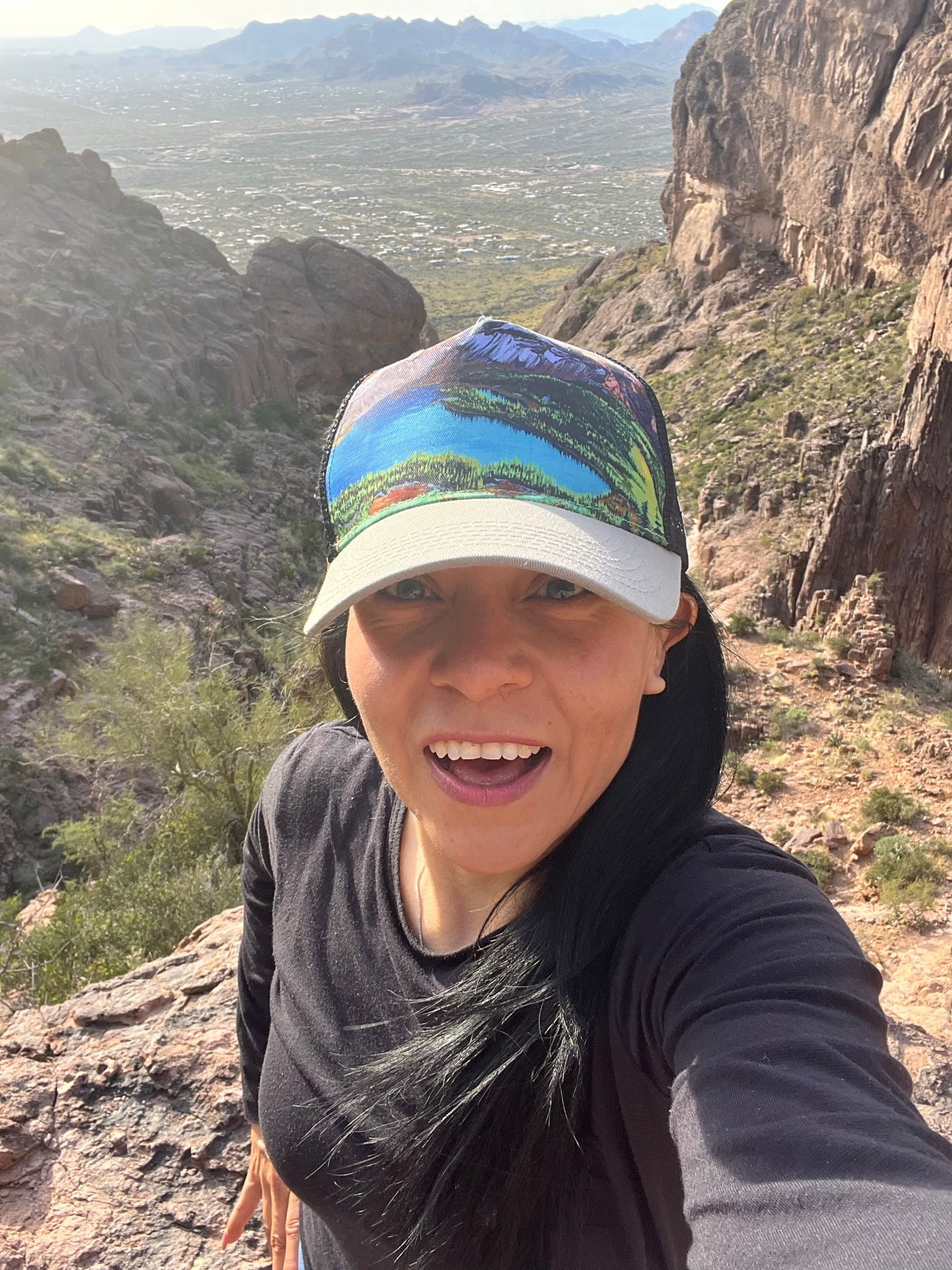
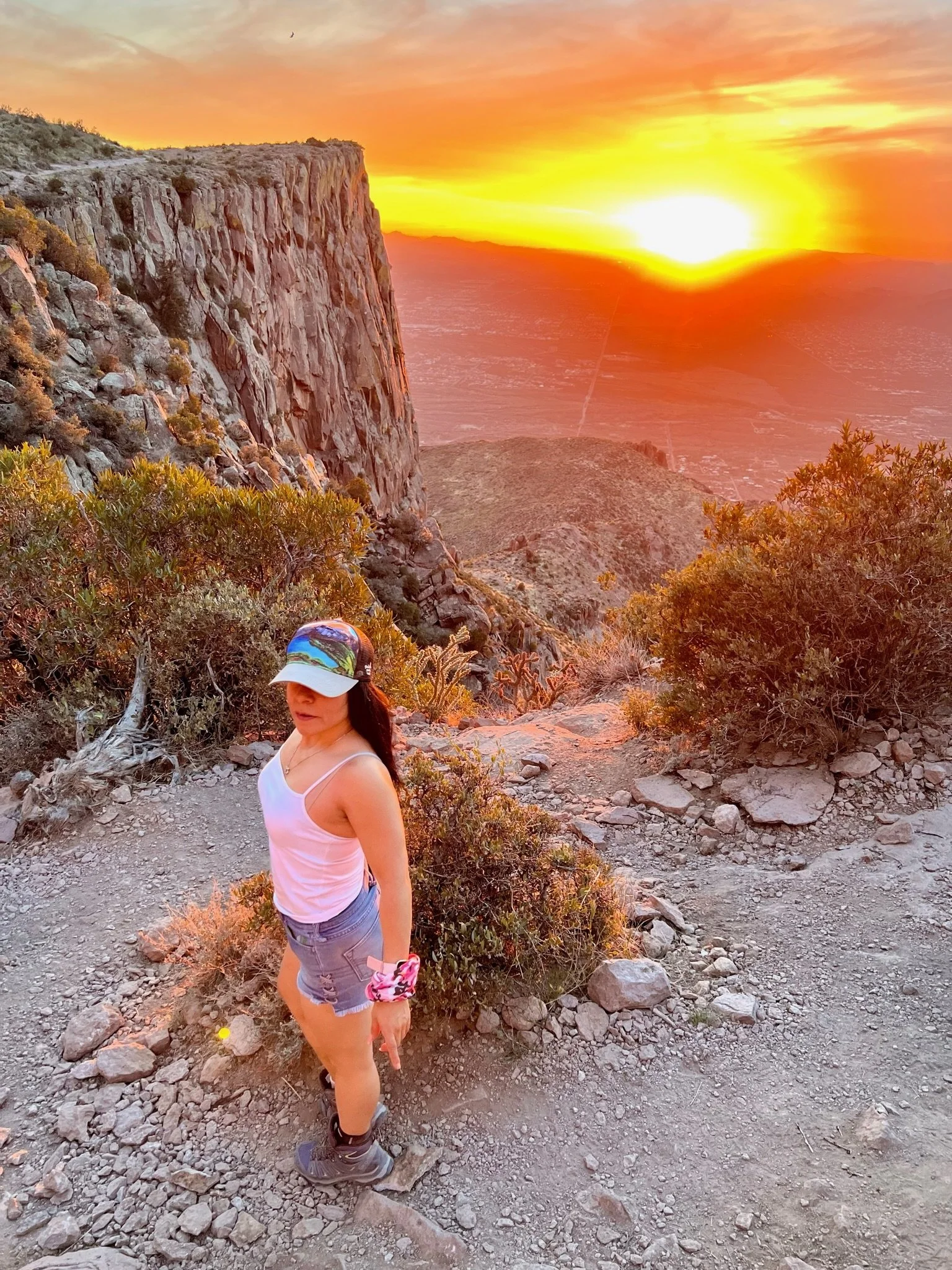
After some blood, sweat and maybe some tears, you will finally find yourself at the saddle and ready to make the final push to the summit. Compared to what you’ve just done, this section is relatively easy.
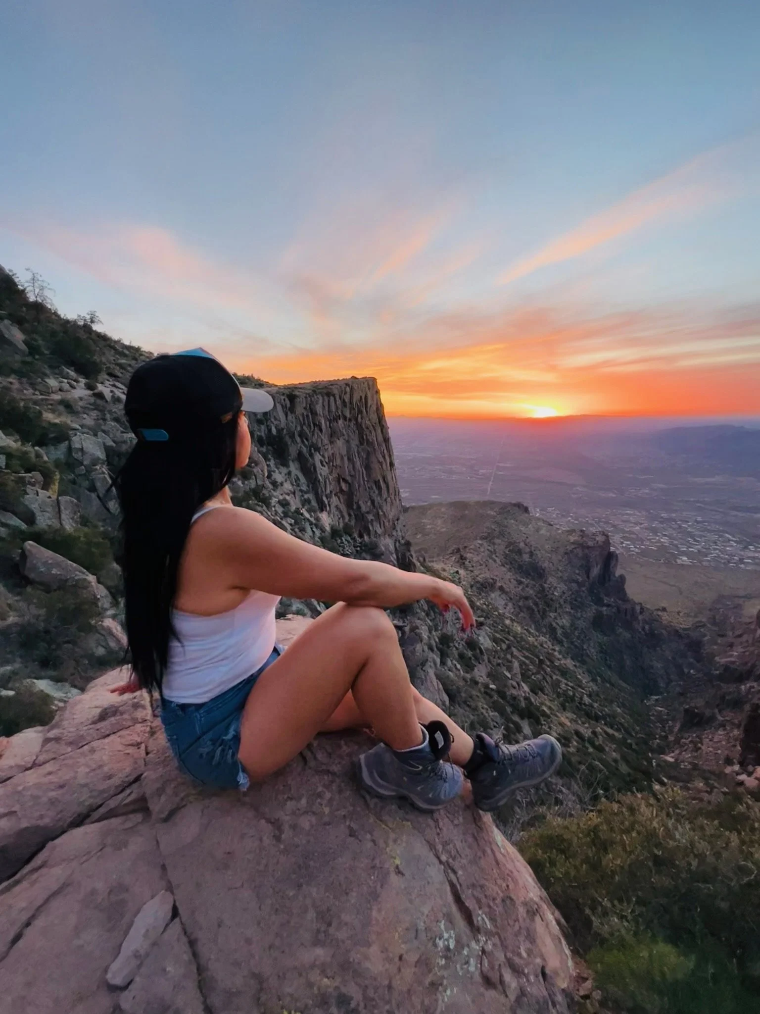
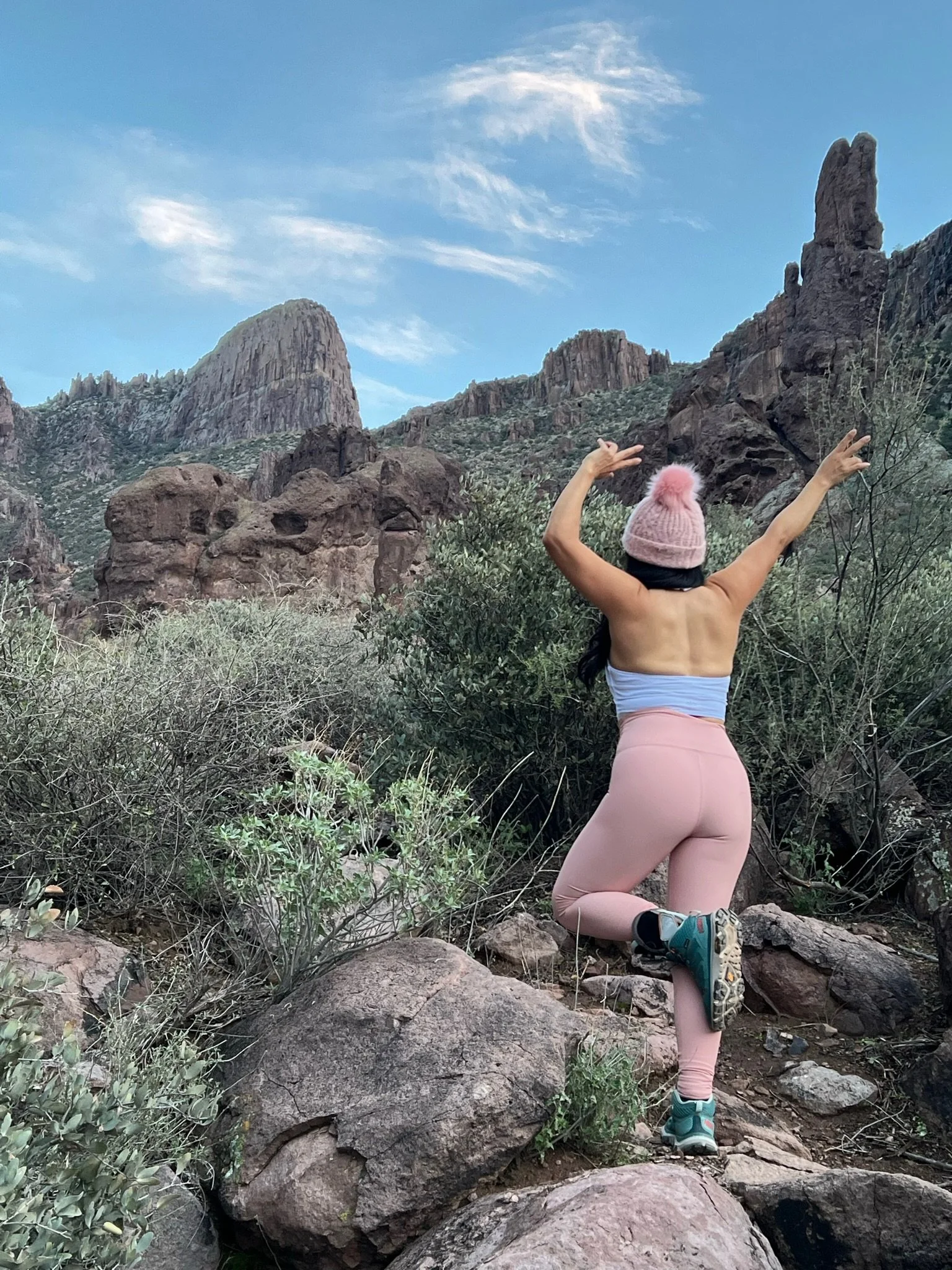
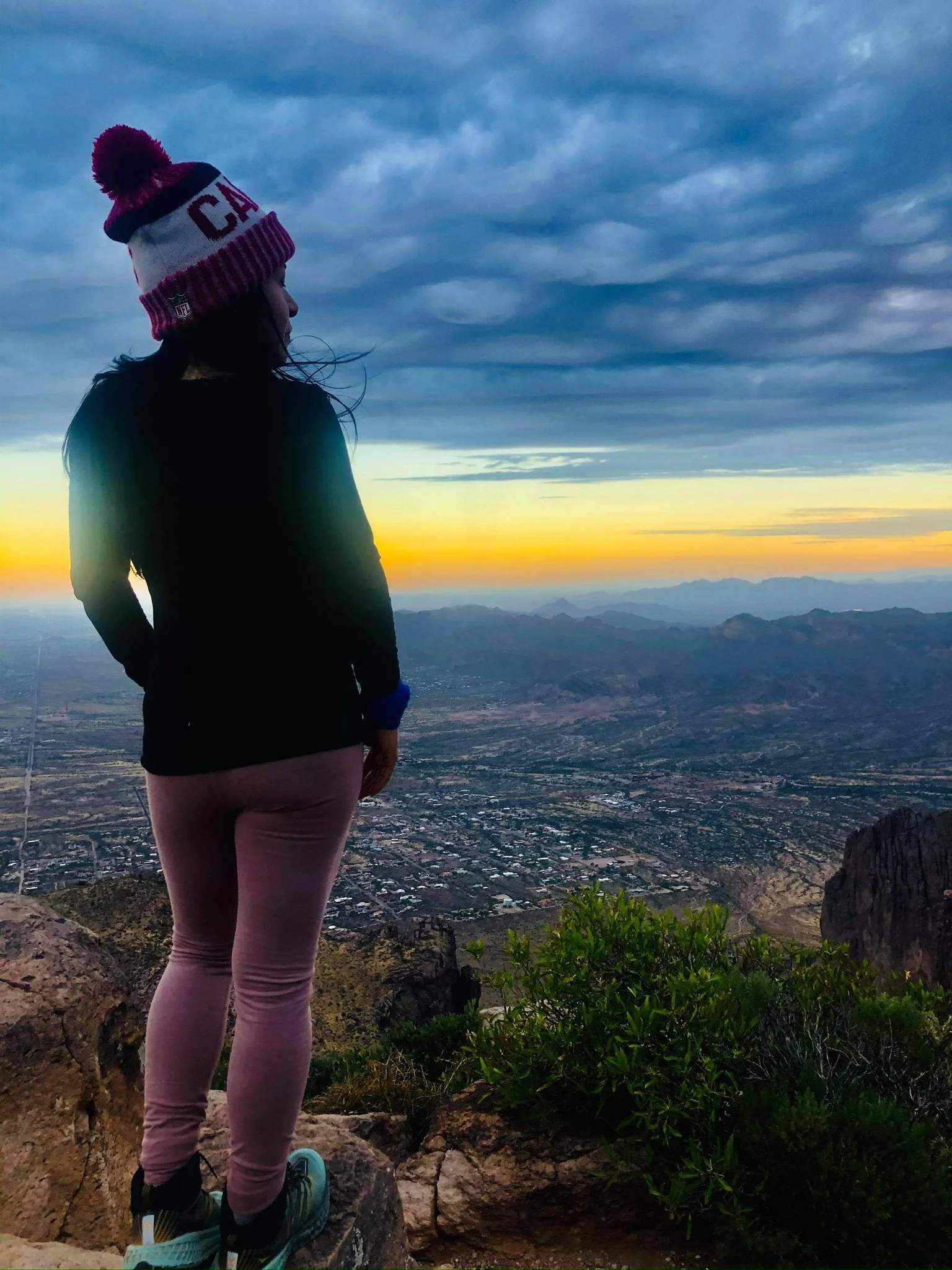
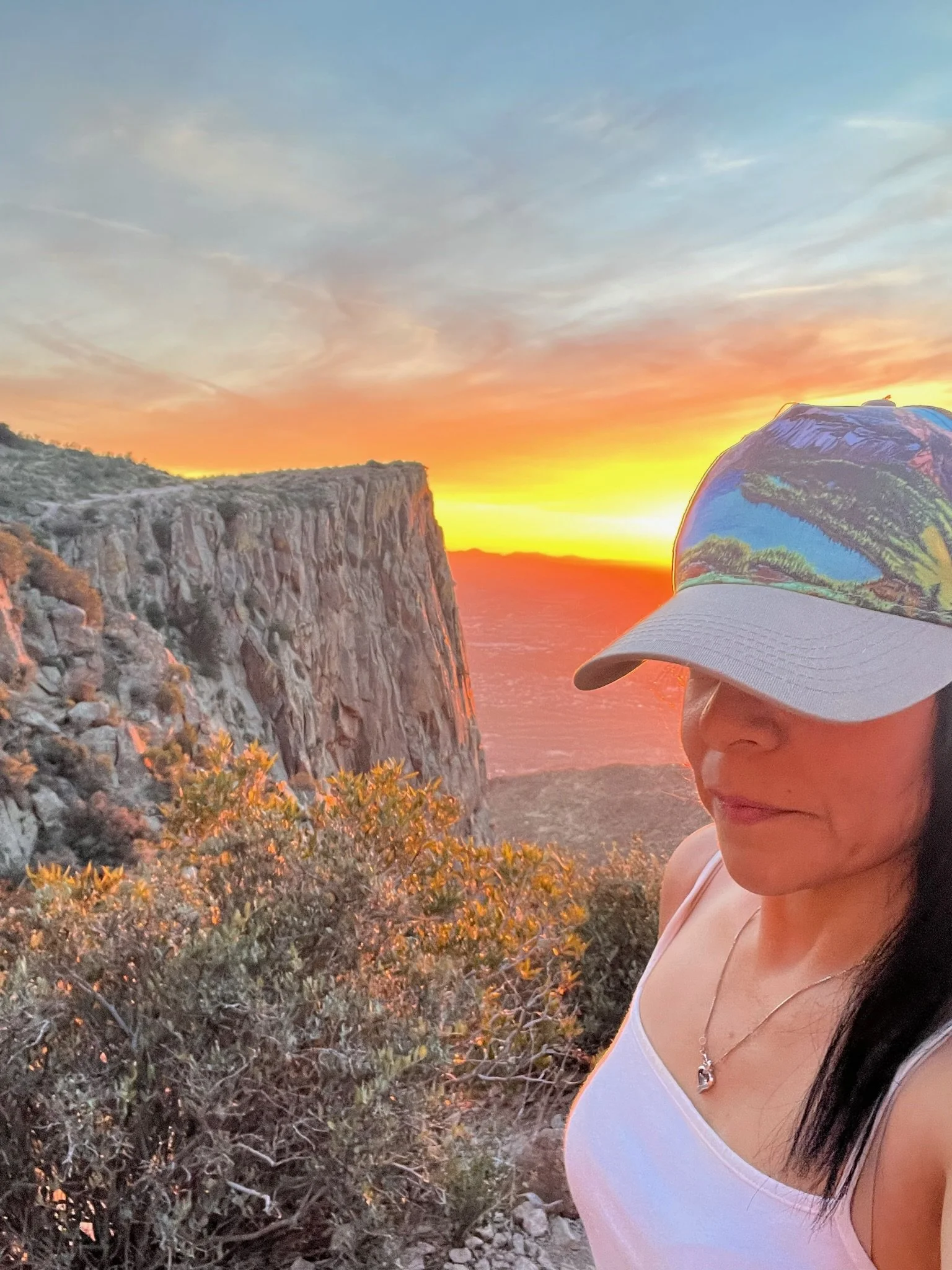
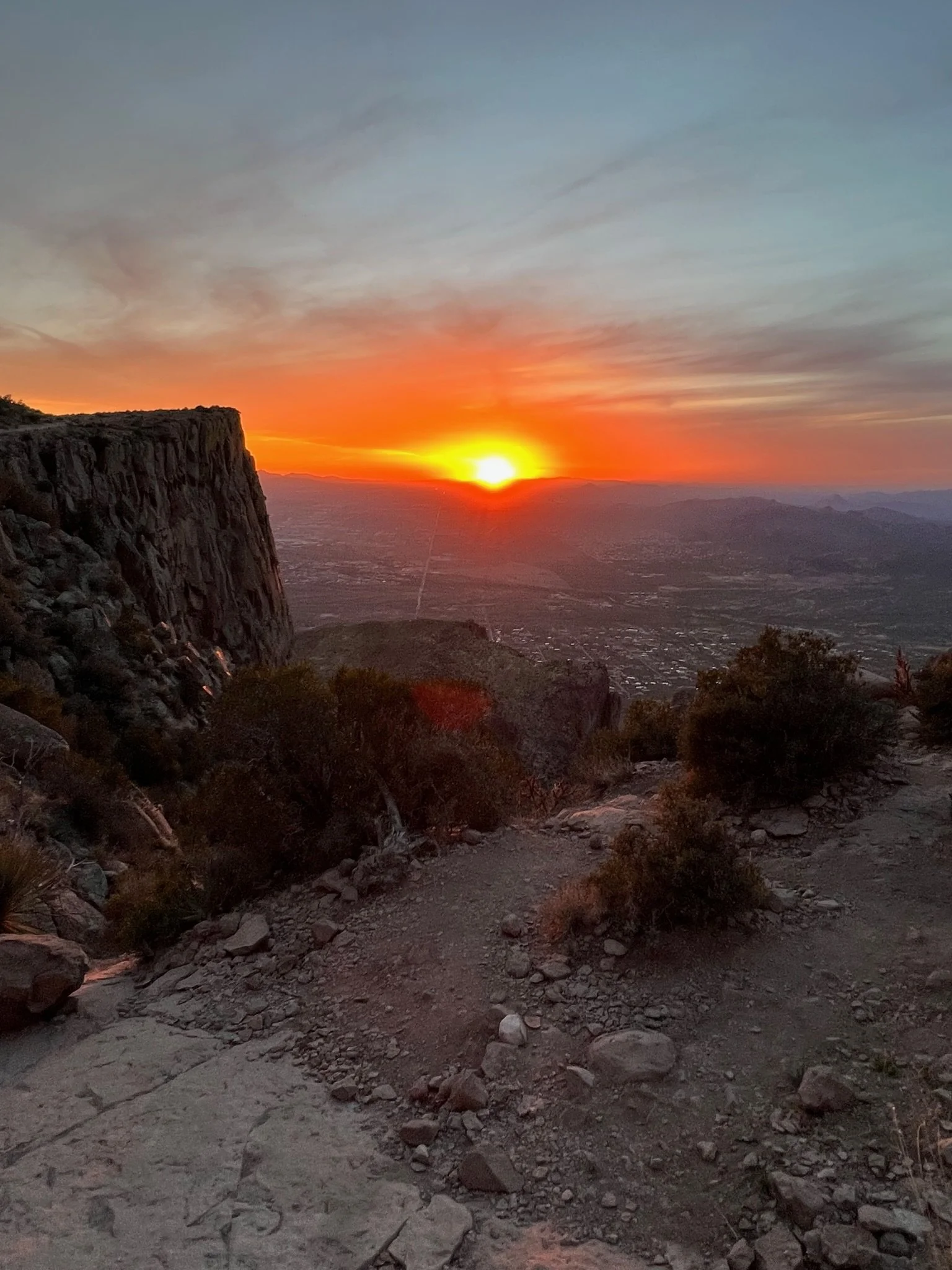
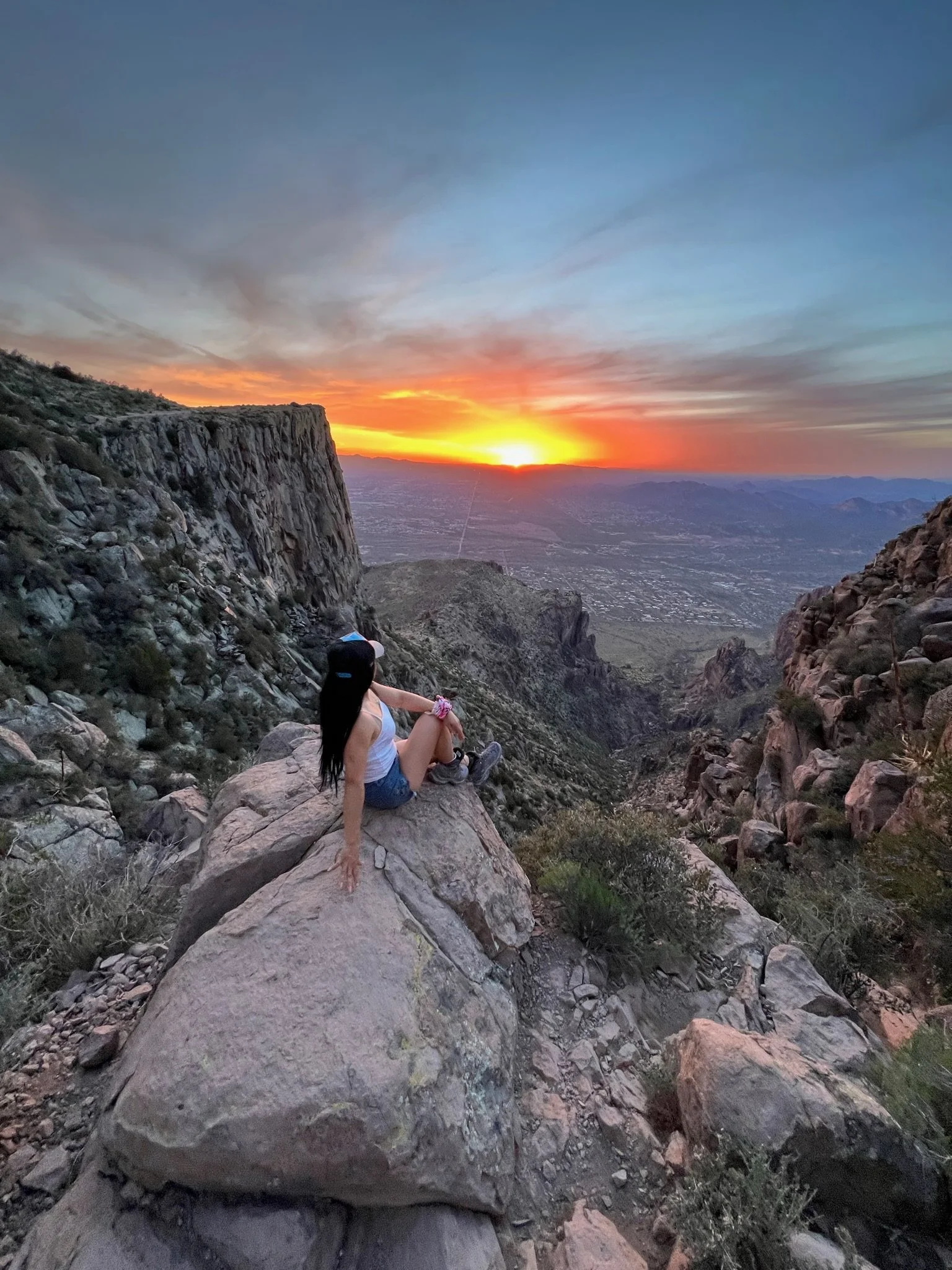
At the summit you will be rewared with wonderful views of the entire Phoenix valley. Find a rock and enjoy some lunch before heading back down, but please do not feed the wildlife. (Leave No Trace principal.)
TOP TIPS:
Bring plenty of water and sunscreen, especially in the hotter months. There is no water available during this entire hike.
Wear a hat, gloves with grip, long pants and breathable, wicking materials.
Start as early as possible. You can avoid much of the Arizona heat and sun, as well as the crowds of people.
WARNING: Again, there is no water available along the entire route, so bring plenty! Download a map, and include a first-aid kit, emergency bivy and food. Cell phone service in this area is tricky, so it is advised you also bring along a GPS rescue device. (We use the Garmin Mini.) Keep in mind, if you are hurt or get in trouble***, rescue in this area could take several hours.
***During the Spring, Summer and early Fall, Arizona temperatures can still be very hot, so if attempting this hike during these times of year, it is strongly advised you start as early as possible, and bring plenty of water. Know your body’s limits and know the signs of heat stroke.